Utility Mapping & Surveying Experts
What Is Utility Mapping & Surveying?
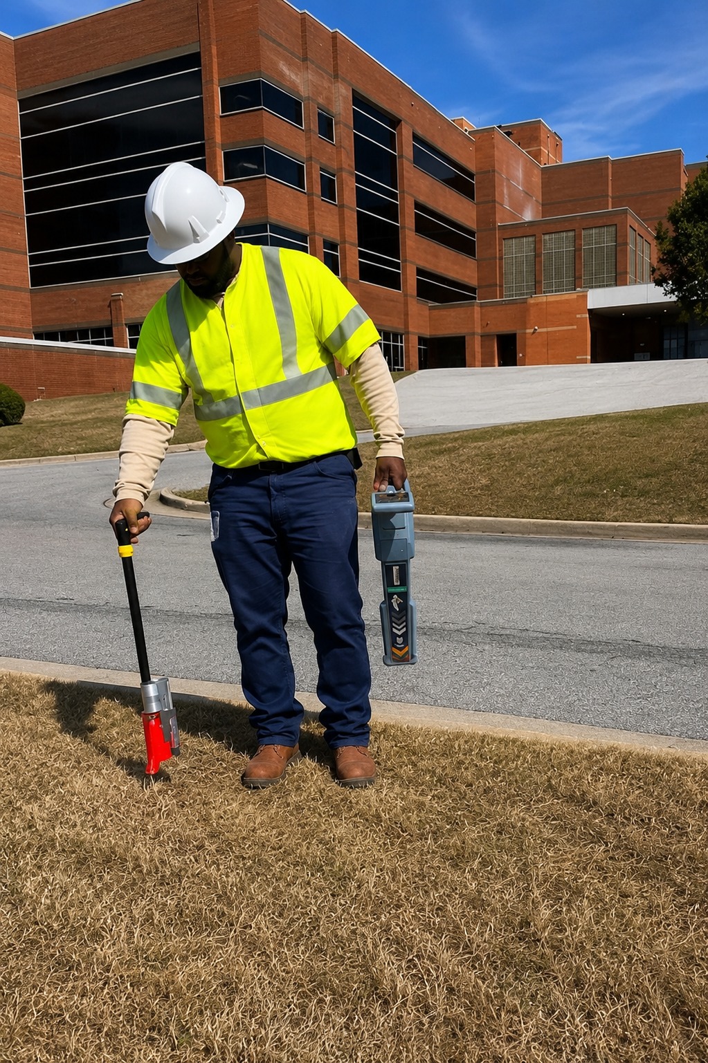
Utility Mapping & Surveying is the process of identifying, documenting, and recording the location of underground and surface utility infrastructure across a property or project site. This may include electric lines, gas lines, water pipes, sewer systems, communication cables, drainage systems, and other buried utilities that need to be accurately represented for planning and construction purposes.
Professional utility mapping services combine field locating information with surveying and site documentation to create a clearer picture of where utilities are positioned. Depending on the project, technicians may use utility locating equipment, Ground Penetrating Radar (GPR), site measurements, existing records, and survey data to support accurate mapping.
At Utility Locating & Mapping Montana, utility mapping and surveying in Montana helps contractors, engineers, developers, and property owners better understand existing infrastructure. Accurate utility maps can support safer excavation, improved design decisions, project coordination, and long-term site management.
When Is Utility Mapping & Surveying Necessary?
Utility Mapping & Surveying is necessary when accurate utility information is needed before construction, excavation, property development, engineering, or infrastructure upgrades. It is especially useful for projects involving site planning, roadwork, utility installation, renovations, commercial development, and large-scale construction.
It can also be valuable when existing utility records are incomplete, outdated, or unclear. Commercial properties, industrial facilities, campuses, residential developments, and municipal sites may contain multiple underground utility systems that need to be located and documented before new work begins.
Using professional utility mapping services in Montana can help reduce uncertainty and improve coordination between contractors, engineers, and project managers. Clear utility information can minimize conflicts with existing infrastructure, reduce the risk of accidental damage, and support more efficient construction and excavation planning.
What Is Required For Utility Mapping & Surveying?
Successful Utility Mapping & Surveying begins with access to the project site and any available information about existing infrastructure. Site plans, utility records, construction drawings, property boundaries, proposed work areas, and known service locations can help guide the utility locating and mapping process.
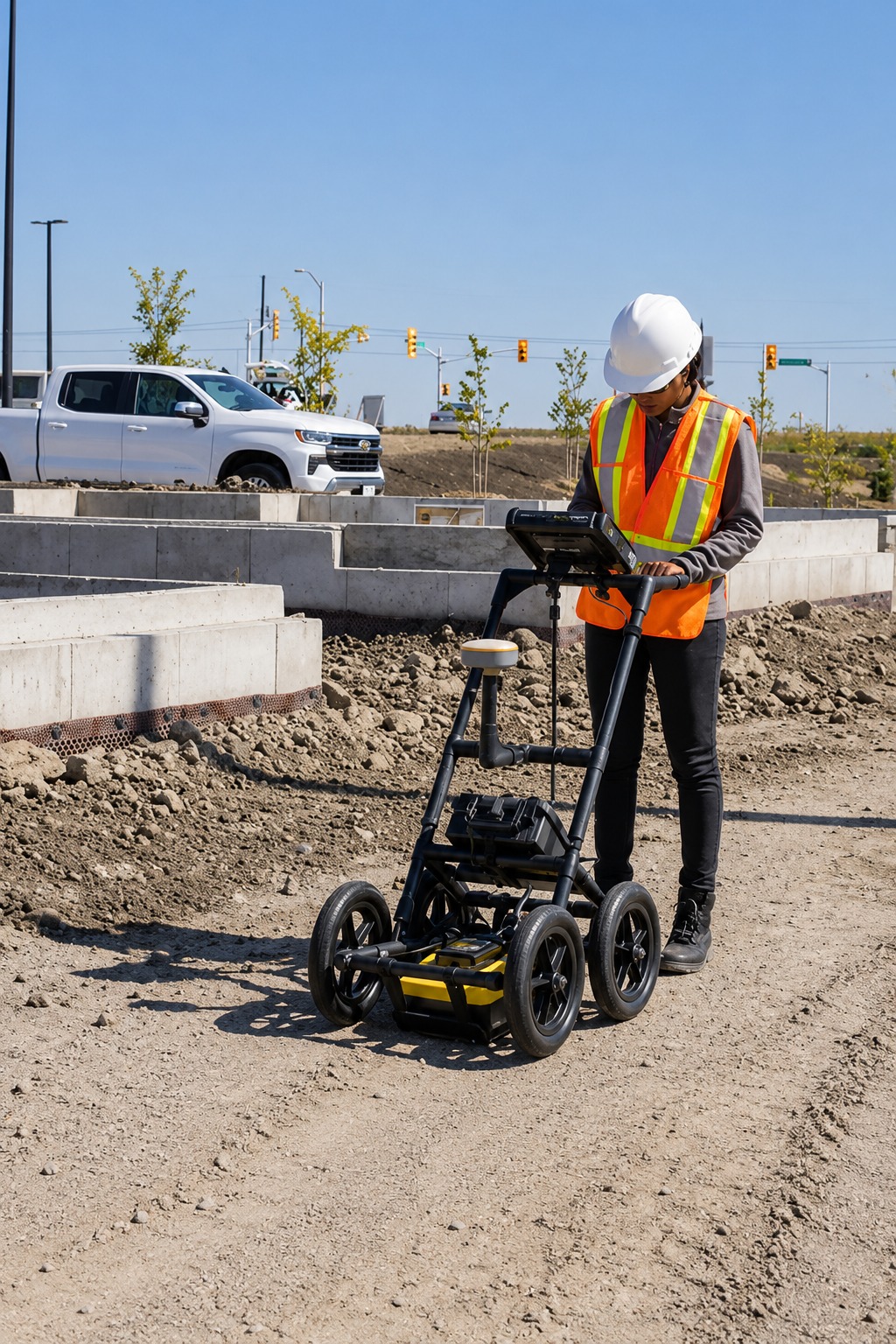
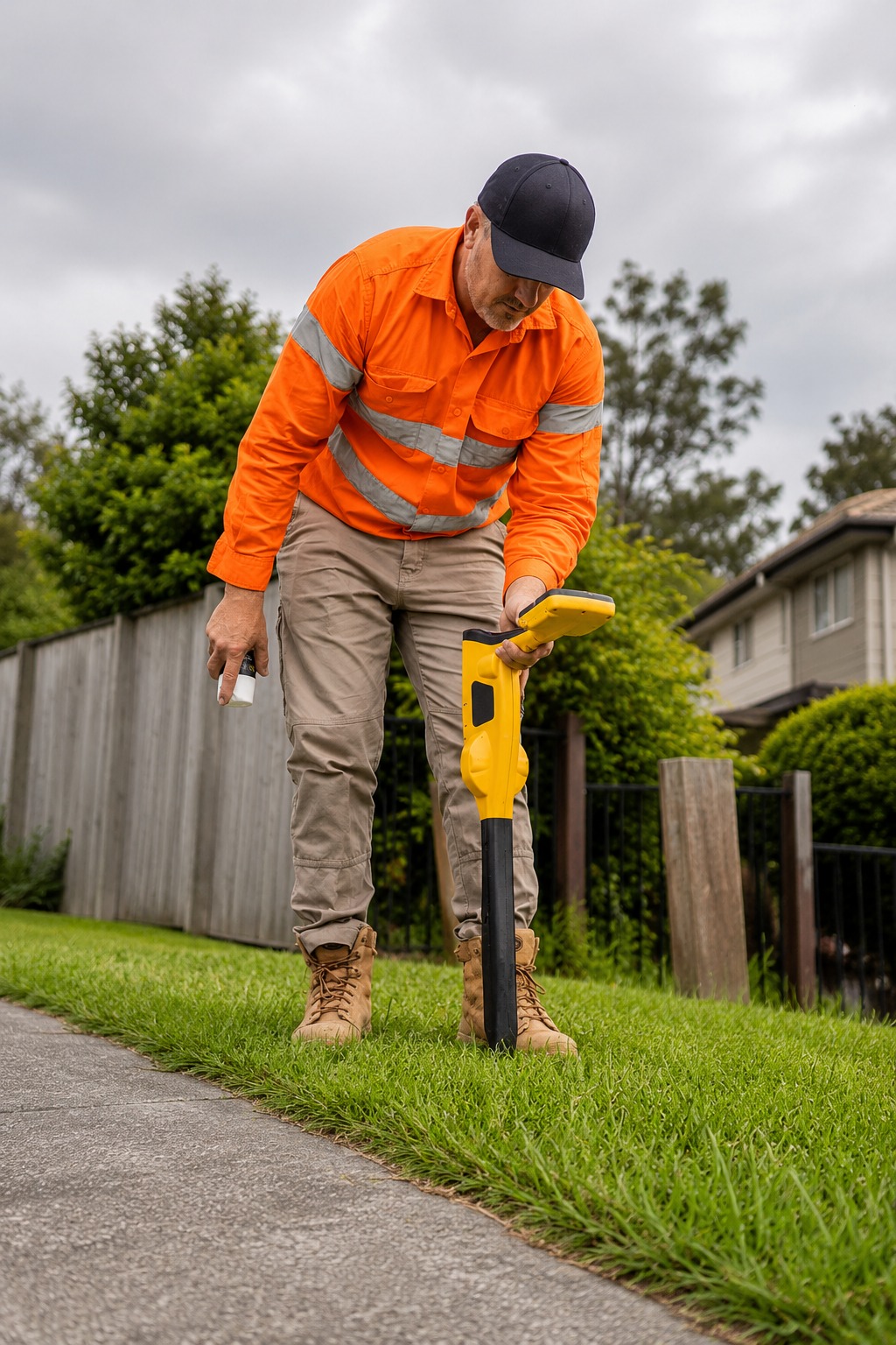
The site must also be accessible for field investigation, locating equipment, and necessary measurements. Depending on the project, technicians may use electromagnetic utility locators, Ground Penetrating Radar, survey equipment, surface features, and existing documentation to help identify and record utility positions.
After the required information is collected, the findings can be organized into utility maps, site records, or survey documentation for planning and reference. Working with an experienced utility mapping and surveying company in Montana helps ensure that important infrastructure information is documented clearly and can support future construction, excavation, engineering, and development work.
Our Reviews
What Our Customers Have to Say About Us!
Very professional and easy to work with. They located the underground utilities clearly and helped us move forward with our excavation project with confidence.

Excellent service from start to finish. The team was responsive, thorough, and provided clear utility mapping that made our construction planning much easier.
We needed GPR and utility locating before drilling on our property. The process was smooth, the results were clearly explained, and the service was very reliable.
The Process
3 Step Process For Your Utility Mapping & Surveying Needs

Contact Us
Start by completing the 'Get a Free Quote' form on our website to share your Utility Mapping & Surveying needs with us.

Schedule Your Estimate
Next, we'll arrange a property visit at a time that works for you to provide an in-person estimate for your Utility Mapping & Surveying needs.

Get The Job Done
After you approve our estimate, we'll schedule a date to complete the job. Our team will work hard to exceed your expectations!
Request A Free Utility Mapping & Surveying Quote
BUSINESS
SERVICES
SERVICE AREAS
OPERATING HOURS
Sun: Closed
Mon: 7:00am - 7:00pm
Tue: 7:00am - 7:00pm
Wed: 7:00am - 7:00pm
Thu: 7:00am - 7:00pm
Fri: 7:00am - 7:00pm
Sat: 7:00am - 7:00pm